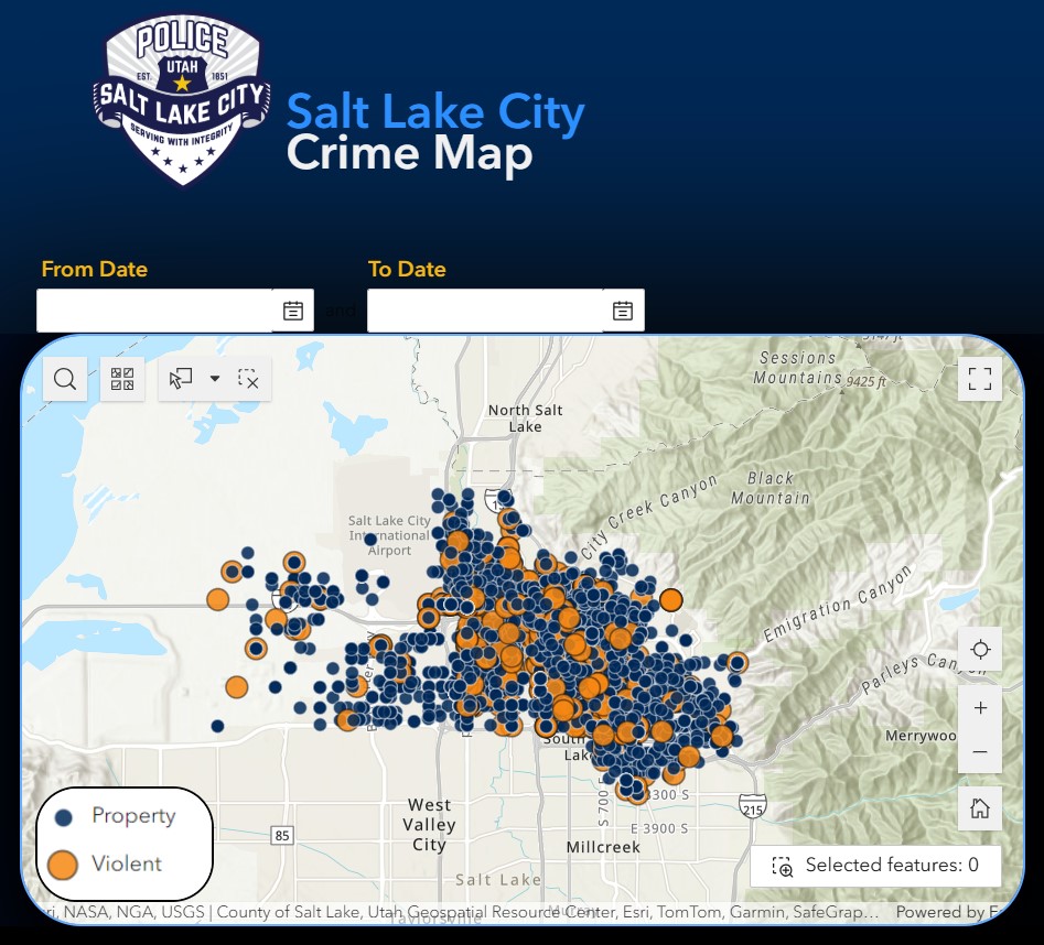
Our officers with the Salt Lake City Police Department do their best to keep District 4 and the rest of the city safe. SLCPD offers multiple tools to track crime within our neighborhoods, including their Crime Map.
The map allows you to filter crimes by month, Council District, Community Council, and crime type. In this case, make sure you click District 4. Once you apply those filters, you can see different crimes that have happened in our district.
It’s important to note that crime locations on the map are anonymized to nearby intersections. This means you will not be able to see if a specific crime took place at a particular business or residence. Additionally, an incident that involves multiple offenses may be counted more than once on the map. In some cases, the location may also be unknown, and officers may use the location where the report was taken.
You can also visit SLCPD’s Crime Stats page where you can also filter by date, council district, and community council. There, you’ll find statistics as recent as last month and compare crimes year-to-date.
Again, our SLCPD officers work to protect us every day. If you have any questions or concerns, please contact our Community Liaison Officer, Det. Marie Stewart.
Sign up to receive text messages from me about important messages like this one.
Text SALTLAKE to 752311.
As always you can contact me at [email protected] or at 801-535-7782.
Explore more: