Overview
Salt Lake City regularly reconstructs local streets to extend pavement life and improve safety, drainage, and curb ramps. Local streets typically serve neighborhoods rather than major corridors, and reconstruction work can include replacing the road surface, upgrading sidewalk corners for accessibility, and addressing utility needs.
Construction generally takes place between April and October, depending on weather. Residents can expect daytime construction noise, dust, and partial access restrictions. However, driveway access is maintained whenever possible, and crews coordinate directly with residents when it is not.
Have questions?
2025 local street projects
This schedule is tentative and subject to change.
- 600 South (800 West to 900 West)
- Bonneview Drive (1500 East to Michigan Avenue)
- De Soto Street (Girard Avenue to North Terminus)
- Emily Circle (800 North to end of cul-de-sac)
- Garnette Circle (Garnette Street to end of cul-de-sac)
- Goodwin Circle (Garnette Street to end of cul-de-sac)
- Irving Street (Svan cul-de-sac end to 800 North)
- Nebula Way (Silver Star Drive to end of cul-de-sac)
- Park Street (Browning Avenue to Sherman Avenue)
- Perry Avenue (Traffic Y to Sigsbee Traffic Circle)
- Perry Avenue (Virginia Street to Laurel Street)
- Pierpont Avenue (400 West to 300 West)
- Redondo Avenue (600 East to 700 East)
- Sigsbee Avenue (Sigsbee Traffic Circle to Sigsbee Traffic Circle Inclusive)
- Van Ness Place (400 East to East Terminus)
- West Capitol Street (Zane Avenue to Girard Avenue)
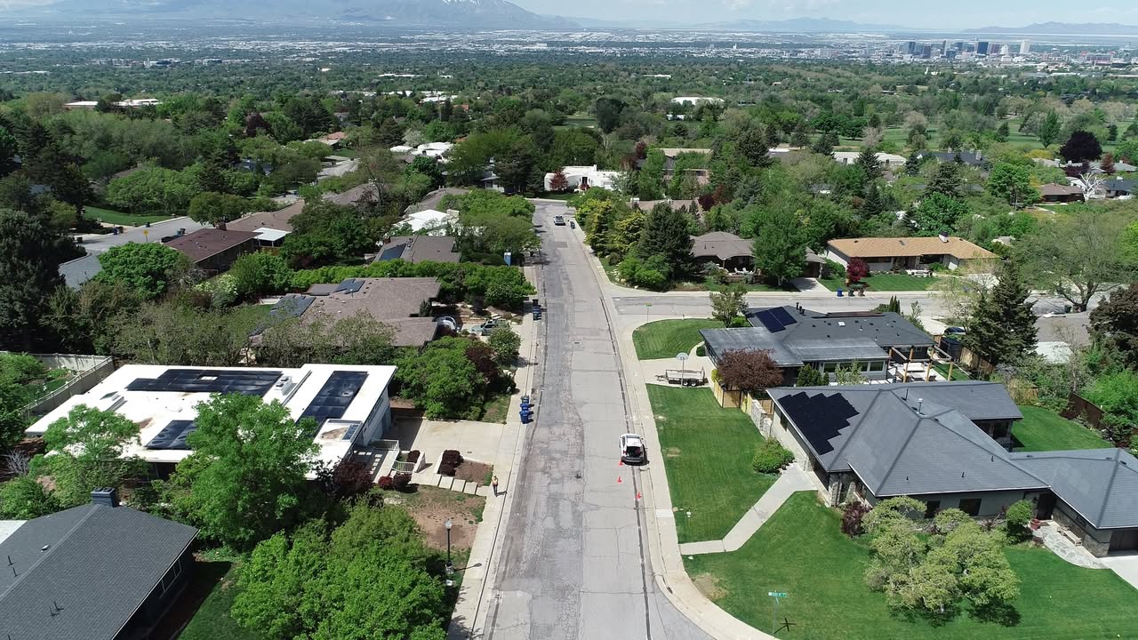
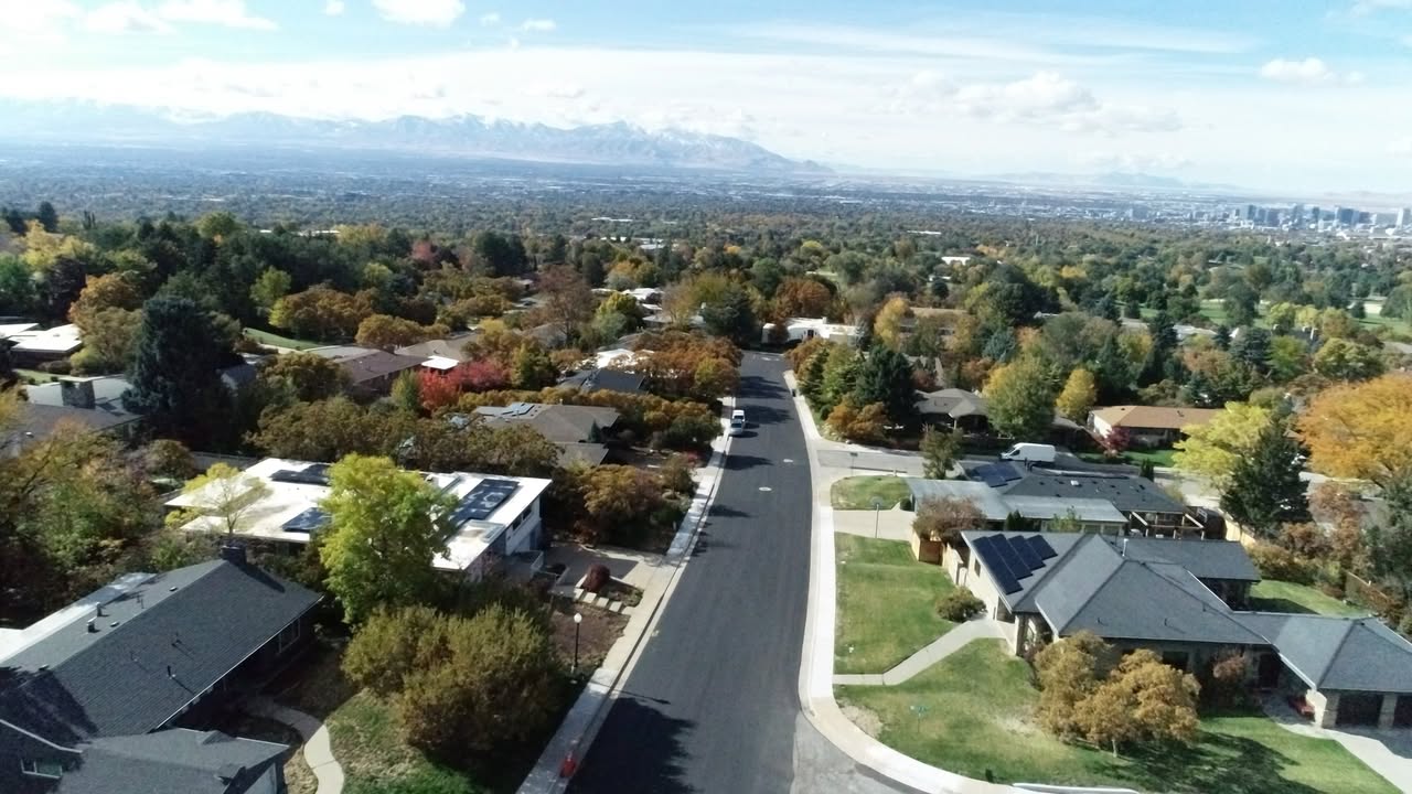
Before-and-after photos of Oquirrh Drive, reconstructed in 2024:
Future local street projects
2026 local street projects
2026 local street projects
This schedule is tentative and subject to change.
- 1100 East (200 South to 800 South)
- 1100 West (Hayes Avenue to American Avenue)
- 300 South (West Temple to State Street)
- 400 East (South Temple to 400 South)
- 400 North (Doralma Street to Starcrest Drive)
- 400 South (1000 East to 1300 East)
- 600 South (Cheyenne Street to Jordan River)
- Chalton Circle (900 East to Cul-de-Sac End)
- Chancellor Place (Chancellor Way to Cul-de-Sac End)
- Doralma Street (400 North to South terminus)
- E Street (7th Avenue to South Temple)
- Elm Avenue (900 East to McClelland Street)
- Girard Avenue (East Capitol Street to terminus)
- L Street (12th Avenue to 5th Avenue)
- Main Street (North Temple to 300 North)
- Navajo Street (300 South to 600 South)
- Starcrest Drive (1100 North to 400 North)
2027 local street projects
2027 local street projects
This schedule is tentative and subject to change.
- 1200 West (Andrew Avenue to Harris Avenue)
- 1300 West (Andrew Avenue to 1700 South)
- 1700 East (Harrison Avenue to Emerson Avenue)
- 1700 East (Military Drive to Yalecrest Avenue)
- 200 South (University Street to 1300 East)
- 300 North (Main Street to State Street)
- Altair Circle (New Star Drive to Cul-de-Sac End)
- Center Street (Main Street to 200 West)
- Clayton Street (Harris Avenue to 1700 South)
- Downington Avenue (1300 East to 1400 East)
- East Capitol Boulevard (State Street to 300 North)
- Emerson Avenue (1600 East to 1700 East)
- Harris Avenue (Navajo Street to 1200 West)
- Hudson Circle (Zenith Avenue to Cul-de-Sac End)
- Jaren Circle (Oquirrh Drive to Cul-de-Sac End)
- Military Drive (1700 East to 900 East)
- Ramona Avenue (1100 East to 1200 East)
- University Street (South Temple to 400 South)
- Westminster Avenue (1200 East to 1400 East)