East City Creek and Upper Avenues
— Quick Links —
Project Description
The East City Creek and Upper Avenues Foothills Open Space Zone (FOSZ or “zone”) was the first to receive new trails in 2020-2021, in accordance with the 2020 Foothills Plan. Construction of new trails was halted in 2021 until an evaluation of the overall Foothills Plan could be completed. Public Lands recently received funding to complete Planning and Implementation for this FOSZ.
Public Lands is creating a plan for completing planning of this area and will submit the plan to City Council before implementation.
Project Timeframe
August 2024: Salt Lake City Council released funding for Public Lands to complete planning and design of this zone.
2025: Planning and design will be completed before presenting to City Council for implementation funding.
2026: If funding is released, implementation of the designs, including land restoration and trail construction will occur.
Click HERE to learn more about planning for the Foothills.
Project Details
Project Location
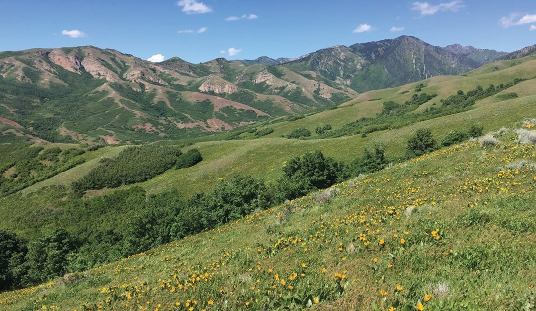
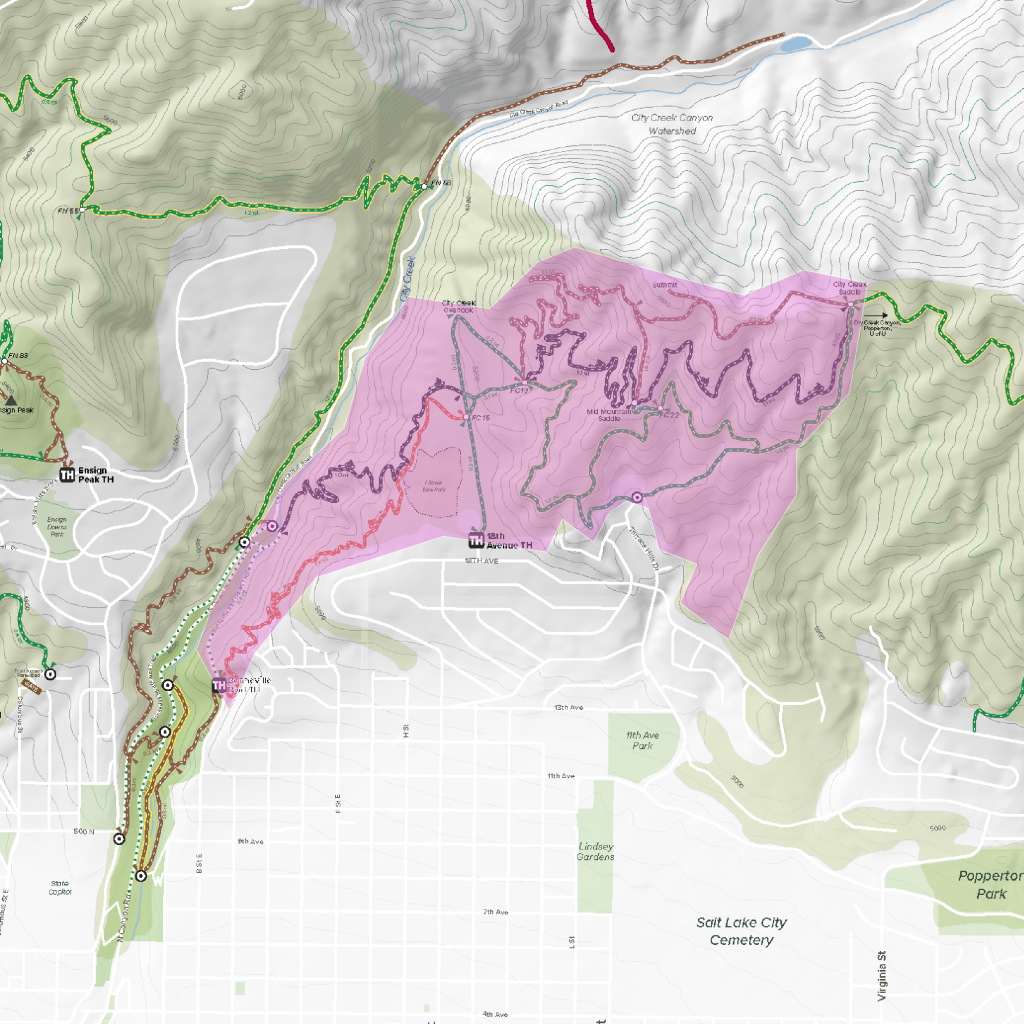
Bordered by City Creek Canyon Watershed on the west and north, Perry’s Hollow ridgeline on the east, and the Avenues neighborhood on the south.
Project Manager
Tyler Fonarow, Trails and Natural Lands Division Director
Project Goals
Manage the Foothills open space zones to be environmentally sustainable, enjoyable, accessible, safe, and low-maintenance.
Additional Project Information
Ecology and Wildlife Overview*
Soil Erosion/Health – Soil in this zone is arid and droughty. Click here for a geology map of the Foothills.
Wildlife – Coyotes, cougars, deer, and elk have all been spotted in this zone.
Invasive Weeds – Cheatgrass, Dyer’s Woad, Dalmatian Toadflax, and Myrtle Spurge are the most prevalent invasive weeds in this area.
Human Impact
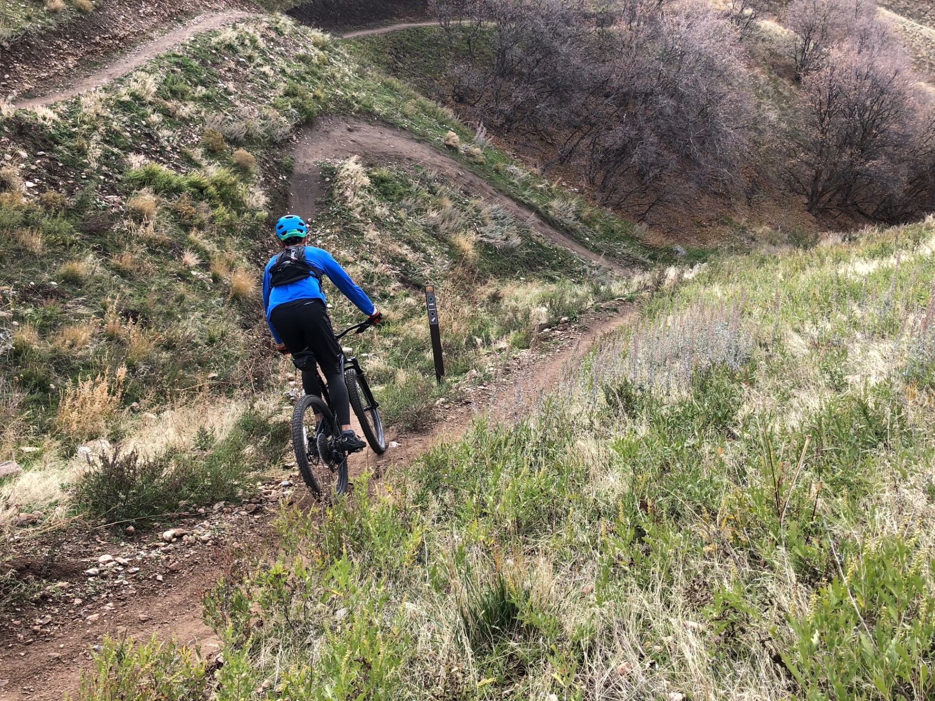
Heavy human use, dog use, and proximity to neighborhoods have led to a high concentration of user-created social trails in this zone.
Amenities
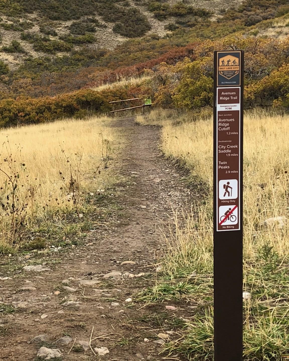
Improved trailhead parking and access, wayfinding signage, and benches at scenic vistas will be added throughout this zone.
Land Ownership
This area is primarily managed by Salt Lake City Public Lands and Public Utilities.
Special Considerations
- The City Creek Canyon Watershed has unique needs and regulations and is adjacent to this zone to the north.
- Proximity to neighborhoods creates a high potential for conflict and is especially important for planning trailheads and parking.
- I Street Bike Park is located in this zone on land managed by Public Utilities.

Foothills Plan FAQs
How does Salt Lake City Department of Public Lands balance recreation areas with land conservation in the Foothills?
The Foothills are organized into “Open Space Zones” (zones), which are large areas separated by natural features like ridgelines and canyons. This approach allows for focused and specialized planning, which will include adding, restoring, and maintaining trails, preserving natural areas, and providing amenities like signage, benches, and trailhead resources.
How does the city decide and approve which trail projects to include in the Foothills Open Space Zone (FOSZ) plans?
First, during the planning phase, a Project Implementation Plan (PIP) is created that is unique to each area and outlines the process for land conservation and use. It will also include environmental assessments, public input from the Foothills Plan, user data, trail designs and alternates, cultural and historical inventories of the Zone, and long-range management plans.
Once the Planning and Design steps are finalized, the PIP is submitted to City Council for approval and funding.
How can I receive updates about Foothills planning?
- Sign up for the Foothills Newsletter
- Attend a Spring 2025 info session
- Email questions to [email protected]
- Follow @slcpubliclands on social media for updates and feedback opportunities
East City Creek and Upper Avenues Gallery