KNOW BEFORE YOU GO
What’s happening in the Foothills Natural Area
— Quick Links —
Find the latest updates on trail maintenance projects, closures, current trail conditions, and more.
January 16, 2026 Trail Update:
Mud Season is here!
Please consider choosing a dry/paved trail to prevent erosion and other damage to trails.
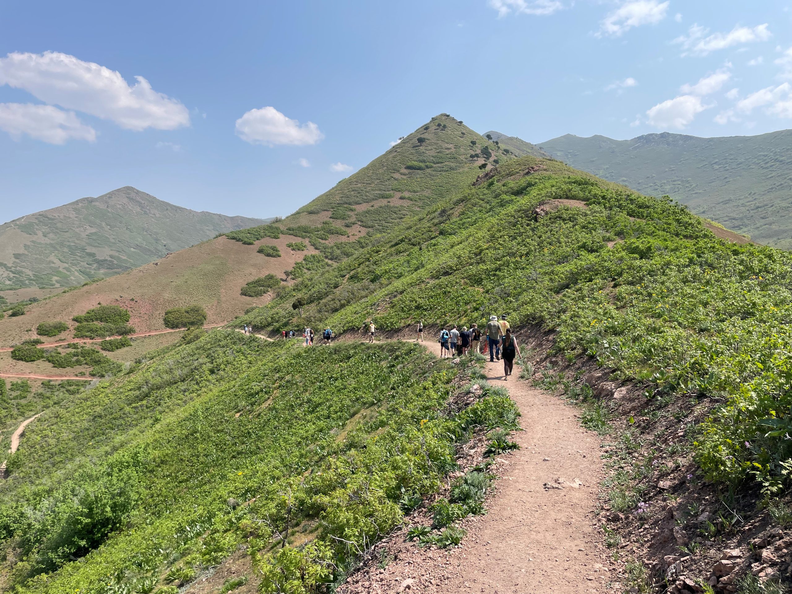
June 3, 2025 Trail Update:
Summer has arrived in the Foothills. Conditions are dry, and wildflowers are blooming!

Navigating Muddy Trails
October 30, 2024
If its sticking to your wheels, heels, or paws, turn around!
As we enter “mud season” be sure to steward Foothills trails with care by turning around when you encounter mud. Creating paths around muddy patches leads to widening of trails and can damage plant life along the trail corridor. Walking through muddy patches creates postholes which harden as the soil dries and can lessen the trail’s ability to direct future water flows properly, leading to erosion.

Fall Trail Conditions
October 15, 2024
Trails are dry and loose due to dry weather conditions. Please use caution when recreating on loose trail surfaces. Gambel oak, maples, and other trees are changing color! We recommend Dry Creek Trail, Avenues Ridge Trail, and BST Parley’s Point for some great leaf-peeping!

Summer Trail Conditions
July 14, 2024
- Beat the heat by choosing trails with shade and by hiking early (before 10am) or late (after 8pm). Foothills trails that are cooler and more shady include Lower City Creek Canyon, BST City Creek, and Dry Creek Gulch.
- Trails are dry and loose during hot summer months.
- Be aware of rattlesnakes in the Foothills. Great Basin Rattlesnakes, most common in Utah, are generally shy and will not strike unless provoked. If you see a snake or hear its rattle, If you see a rattlesnake, give it plenty of space (5 feet/1.5 meters or more), and move on.
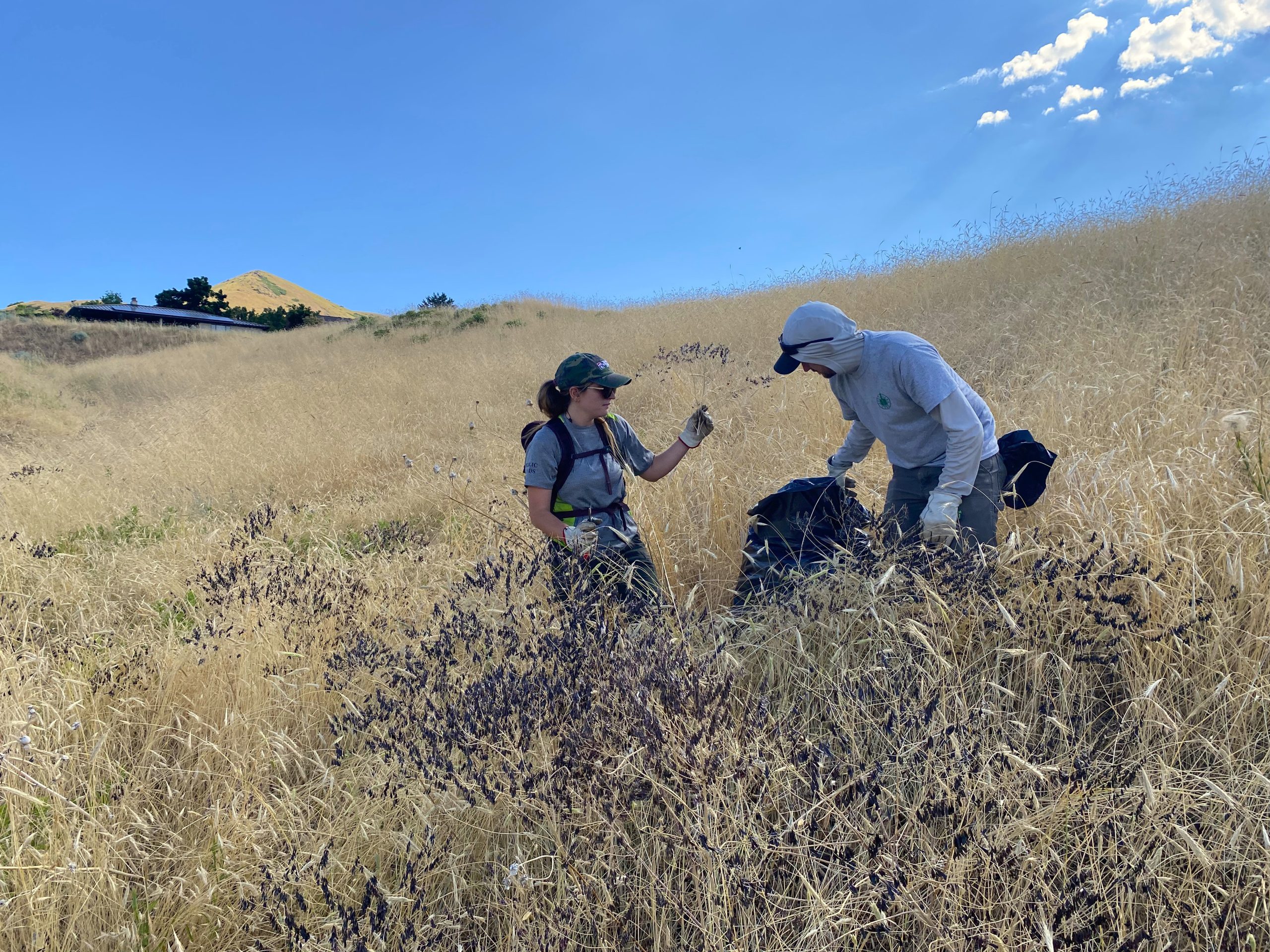
Volunteers at Work
June 27, 2024
Be aware of volunteer teams, led by Foothills Trails and Natural Lands staff, on trails throughout the month of July. These local trail stewards are helping us remove invasive weeds, trim vegetative growth to improve trail sight lines, and are helping steward the trails they love and use. Click HERE to join us at an upcoming stewardship event!

BST West City Creek & Lower City Creek Loop Reroute
May 22, 2024
- Hikers and bikers please take note: The section of the West City Creek trail from Bonneville Boulevard trailhead to the BST/West City Creek junction is now open and is designated FOOT TRAFFIC ONLY. Bikers please use the newly extended BST trail access 400 feet south of the West City Creek trailhead on Bonneville Blvd. See map below.
- ALL TRAIL USERS please be cautious and aware of trail crossing at Bonneville Blvd. Be aware of oncoming traffic and cross the road with caution.
- Trail traffic headed east on the BST should remain on the BST and not turn left onto the West City Creek section of trail.