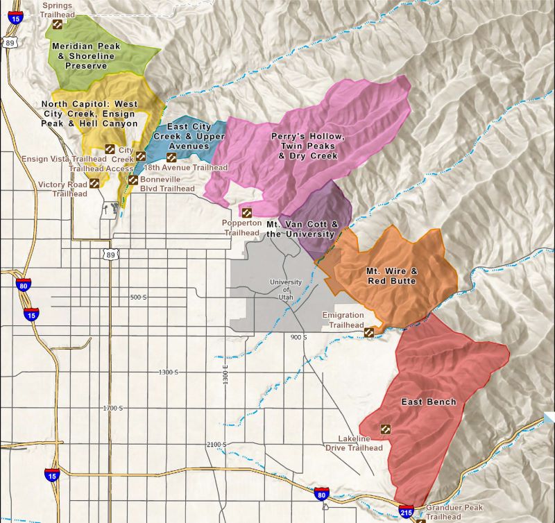
Foothills Trails Route Suggestions
— Quick Links —
Our teams have scouted out a variety of excursions for your enjoyment.
Links to these routes on AllTrails are provided.
West City Creek, Ensign Peak & Hell Canyon
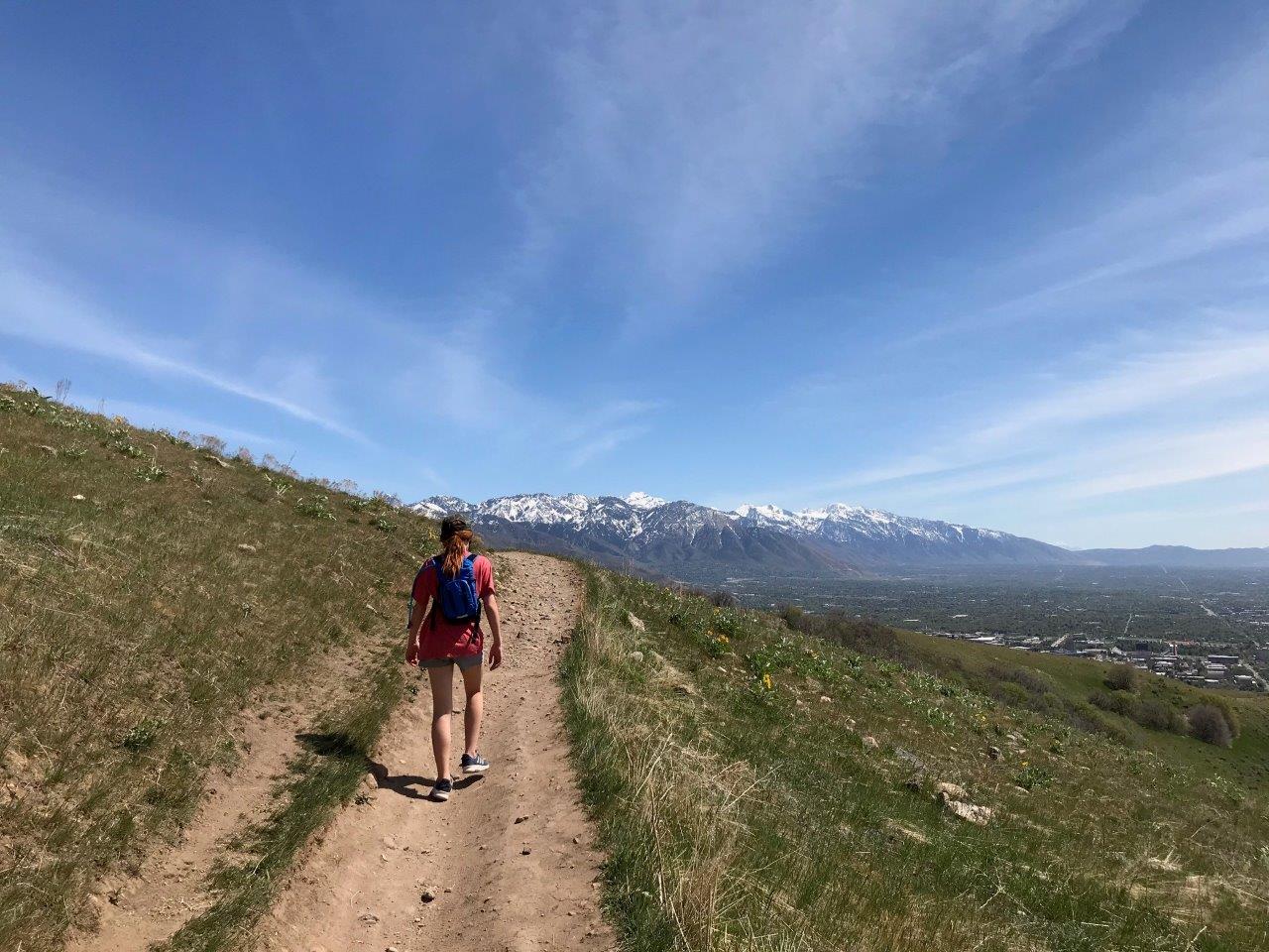
Mt. Wire, Red Butte, Mt. Van Cott, & the University of Utah
Parley’s Point & East Bench
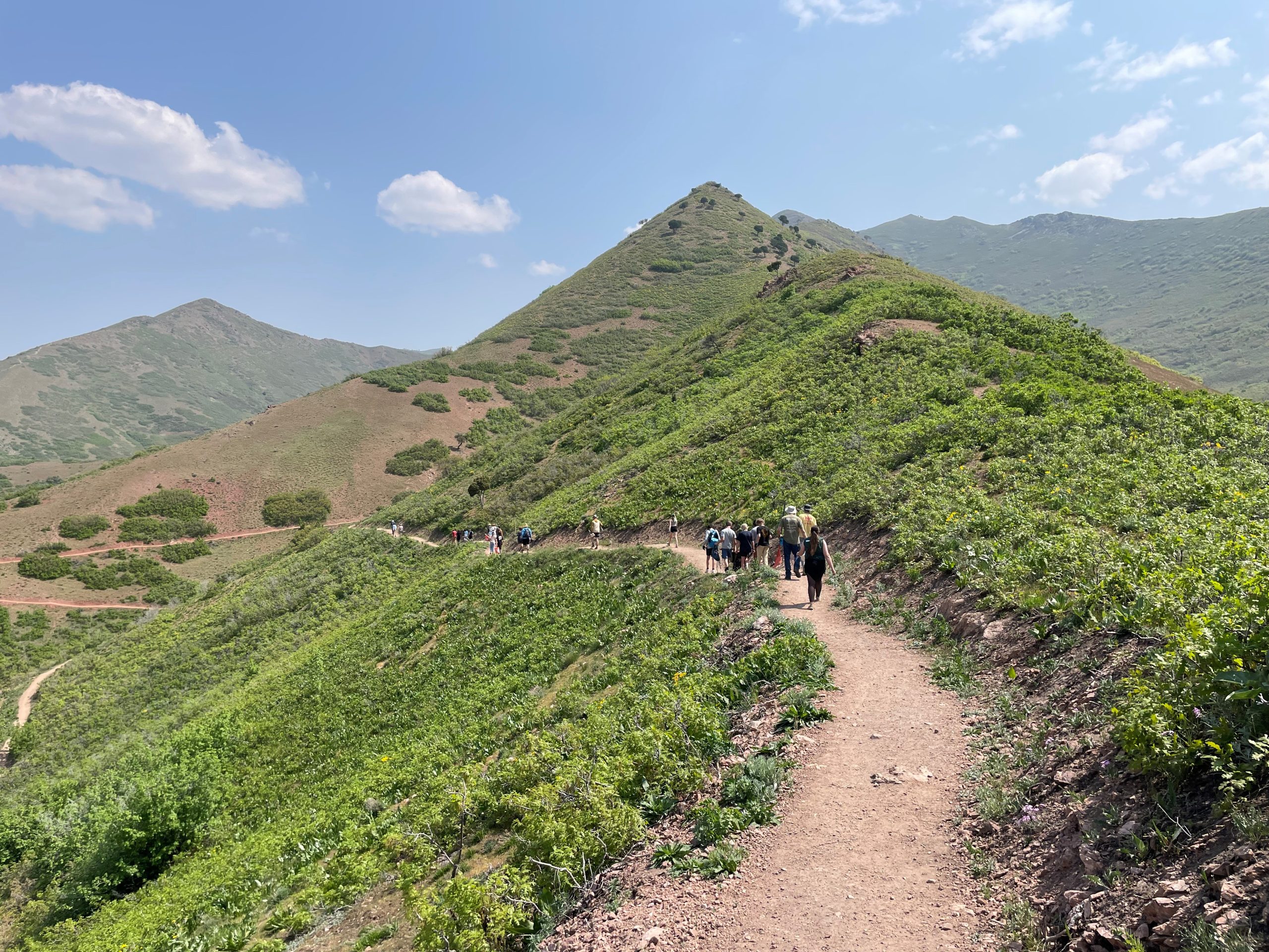
Meridian Peak &
Shoreline Preserve
This page is under construction, please check back soon.
East City Creek &
Upper Avenues
Perry’s Hollow, Twin Peaks, & Dry Creek
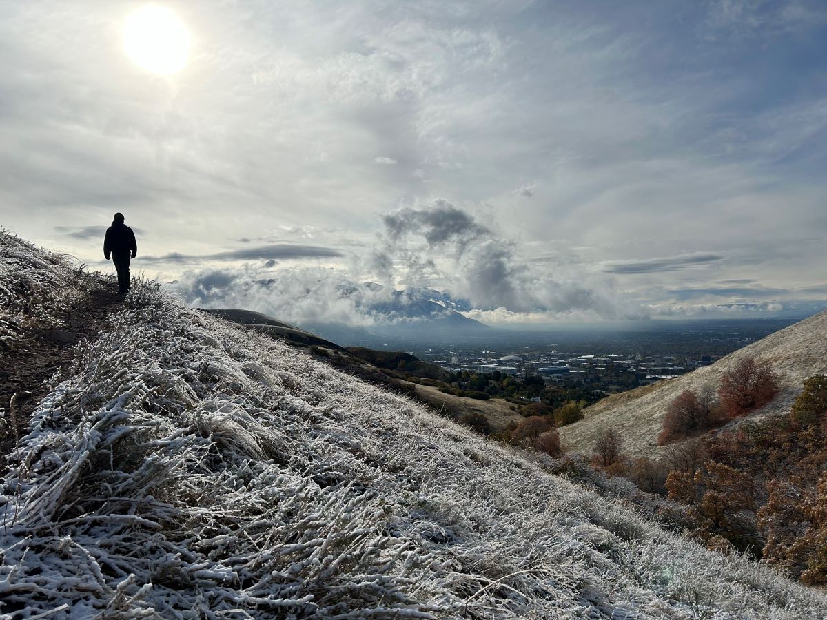
Remember to practice good trail etiquette when recreating in the Foothills.

- Please stay on designated trails. Social trails are not maintained, which could pose a safety risk for users and lead to environmental harm.
- Pack it out. Please come prepared to bag and remove your pet’s waste.
- Keep dogs on leash. Off-leash dogs can disrupt wildlife, spread invasive weeds, and have been attacked by wildlife.
- Learn more about responsible recreation in the Foothills with our Be WILD campaign.
Foothills Open Space Management Areas
A Vision for Sustainable Recreation in the Foothills Natural Area
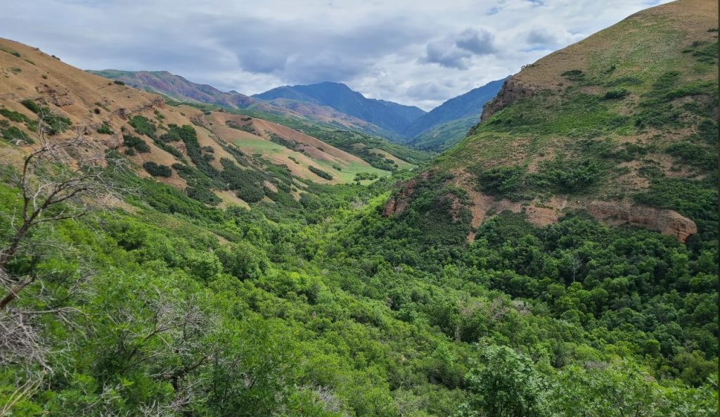
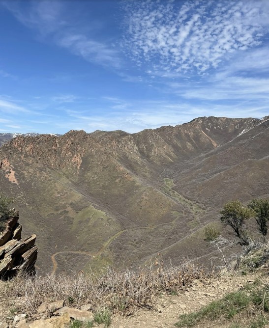
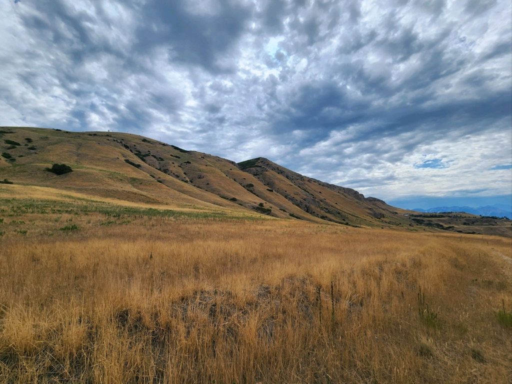
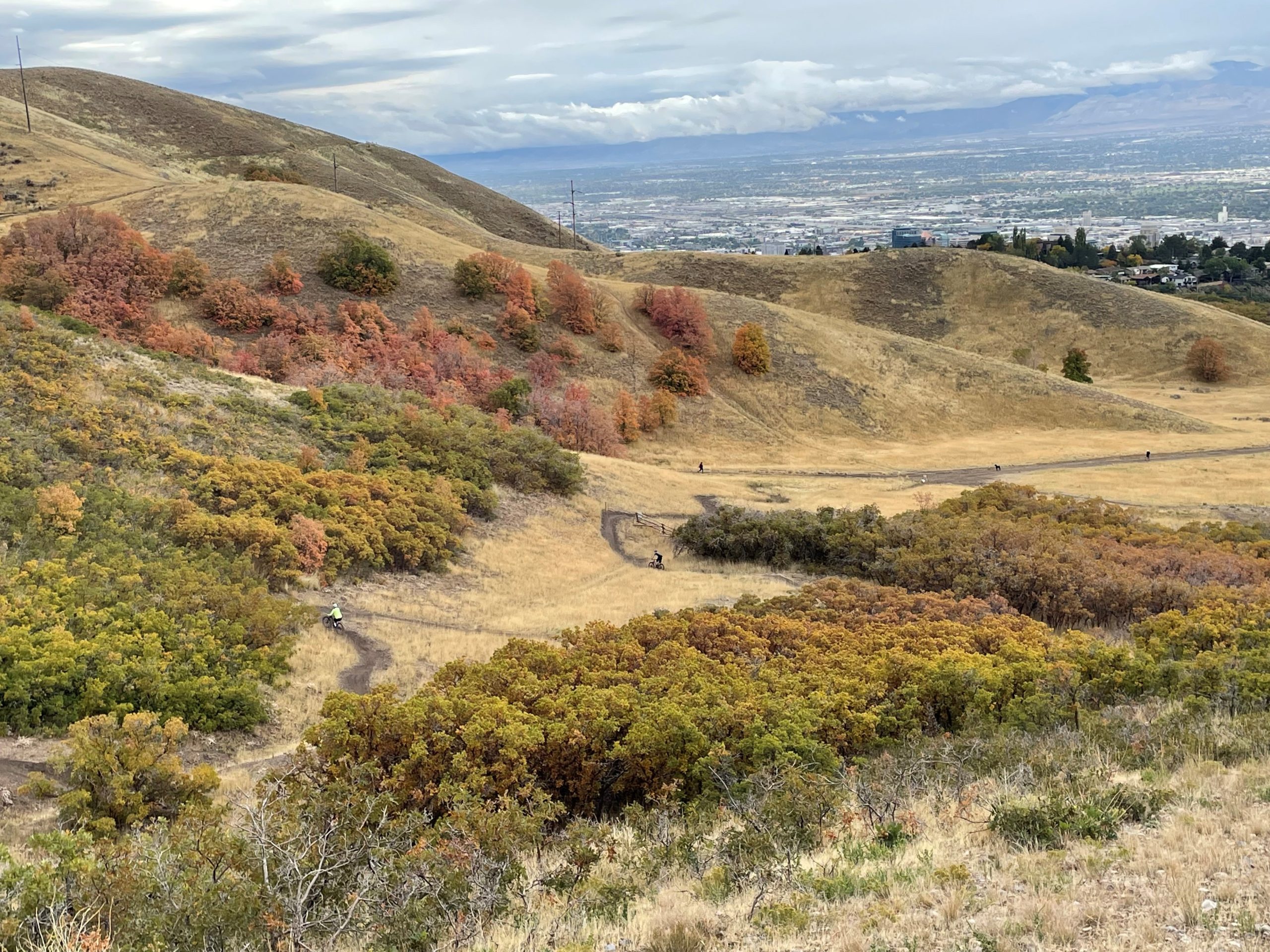
The Foothills Natural Area consists of approximately 6,000 acres of canyons, open sagebrush grasslands, and scrub-oak woodland bordering the northern and eastern limits of Salt Lake City. The Foothills are a patchwork of open space properties owned by the City, the University of Utah, Utah State Parks, and the US Forest Service. Our vision is to provide a variety of recreational trail and cultural experiences for diverse ages and abilities while managing the Foothills’ environmental resources for future generations.
Read more about the Foothills Plan HERE.