East City Creek and Upper Avenues Area Routes
— Quick Links —
North Foothills: East City Creek and Upper Avenues
The Foothills Rangers and trail teams have scouted out and mapped a variety of excursions for your enjoyment.
Links to these routes on AllTrails are provided.
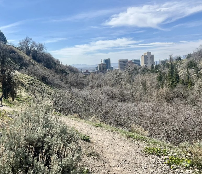
Photo: AllTrails
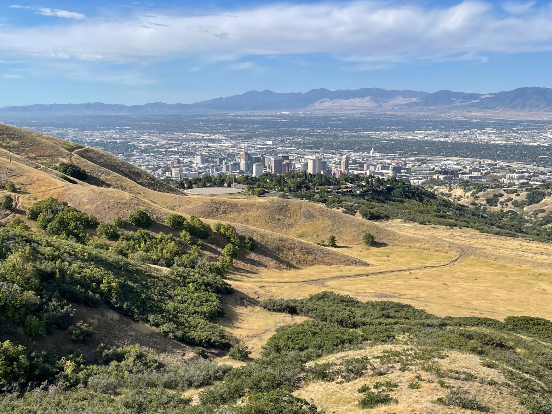
Hiking: Lower City Creek Loop and Freedom Trail
Spend 30 minutes or two hours exploring this dog-friendly, hiking-only network of soft-surface trails and paved pedestrian paths. It offers views of Memory Grove and the Capitol; the lower portion is shady. 3 miles, 410 feet of elevation gain.
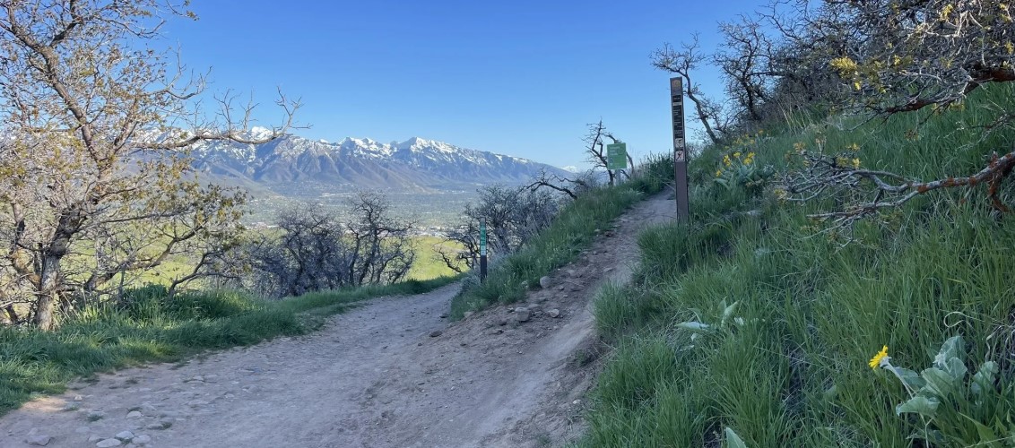
Photo: AllTrails
Biking: 19th Ave via 18th Ave or Terrace Hills
Begin at Bonneville Blvd, 18th Avenue, or Terrace Hills, ascend via the BST and return down 19th Ave. A classic Foothills ride, offering flowy downhill-only singletrack and moderate climbing with short, medium and long loop options.
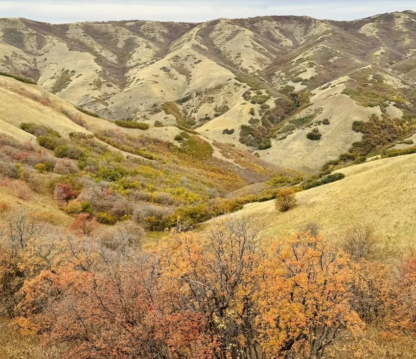
Photo: AllTrails
Hiking: Avenues Ridge and BST Valleyview Loop
Longer version of the 18th Ave. Loop utilizing the full Avenues Ridge Trail and a connecter trail to return to the 18th Ave. Trailhead. Moderate grades.
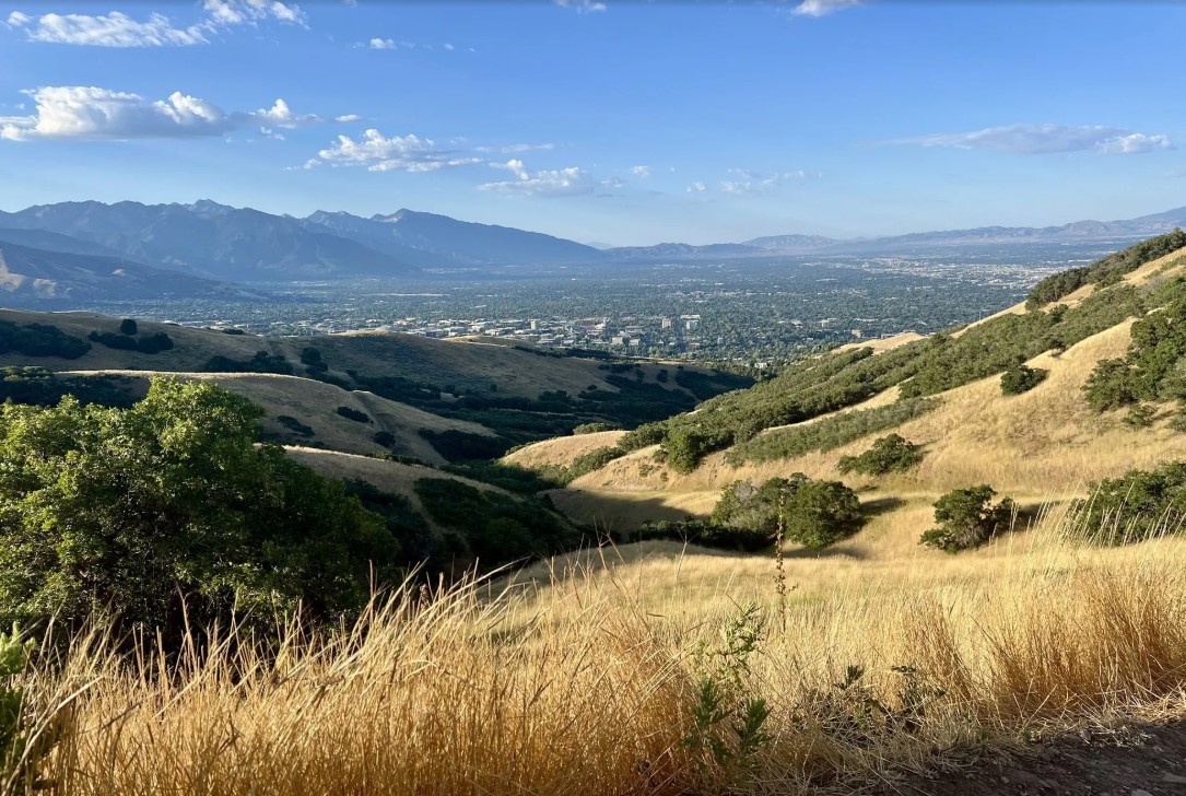
Photo: AllTrails
Hiking: Terrace Hills and BST Valleyview Loop
Easy, quick outing of about an hour, good for kids and dogs. Can be hiked from Terraces Hills East to West or West to East.
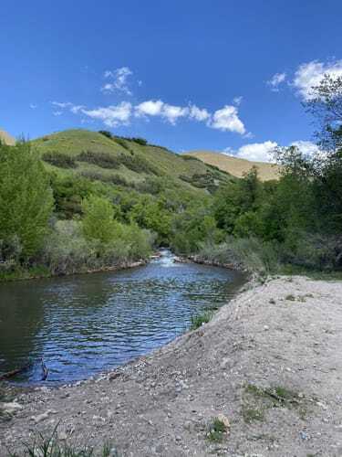
Photo:: AllTrails
City Creek Canyon Trails
City Creek Canyon is managed by Salt Lake City’s Public Utilities Department. The City Creek Canyon Trail is a popular out-and-back route that climbs gently from the mouth of City Creek Canyon. Trail Access is currently limited due to a Public Utilities infrastructure improvement project in the area. Check Public Utilities‘ project page for up-to-date information.
Trail Routes at a Glance
| Route | Distance | Elevation Gain |
| Lower City Creek Loop and Freedom Trail | 3 miles | 410 feet |
| 19th Ave via 18th Ave or Terrace Hills | 6.8 miles | 1302 feet |
| Avenues Ridge and BST Valleyview Loop | 4.6 miles | 748 feet |
| Terrace Hills and BST Valleyview Loop | 1.4 miles | 252 feet |
| City Creek Canyon Trails | 6.1 miles | 662 feet |
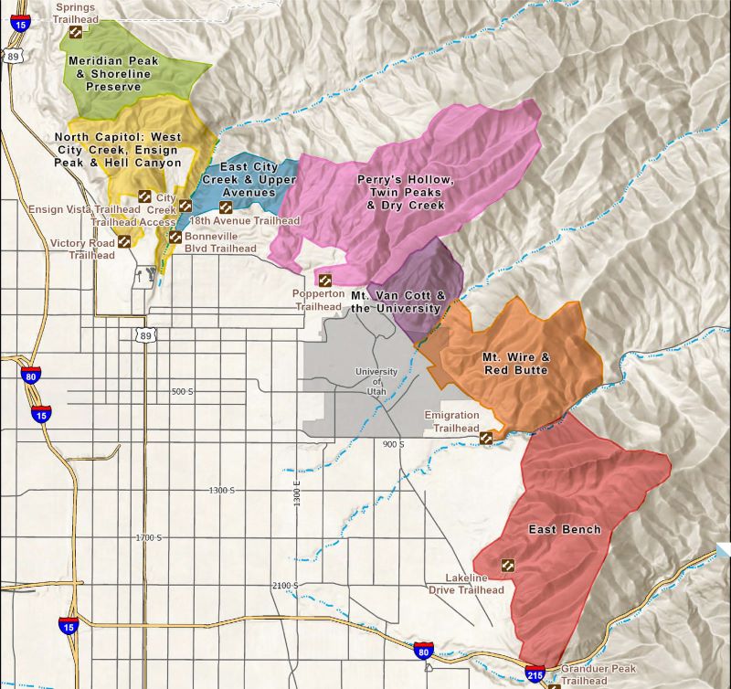
Foothills Open Space Management Areas
A Vision for Sustainable Recreation in the Foothills Natural Area
The Foothills Natural Area consists of approximately 6,000 acres of canyons, open sagebrush grasslands, and scrub-oak woodland bordering the northern and eastern limits of Salt Lake City. The Foothills are a patchwork of open space properties owned by the City, the University of Utah, Utah State Parks, and the US Forest Service. Our vision is to provide a variety of recreational trail and cultural experiences for diverse ages and abilities while managing the Foothills’ environmental resources for future generations.
Read more about the Foothills Plan HERE.