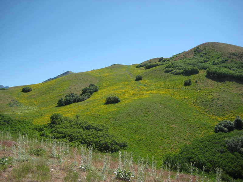
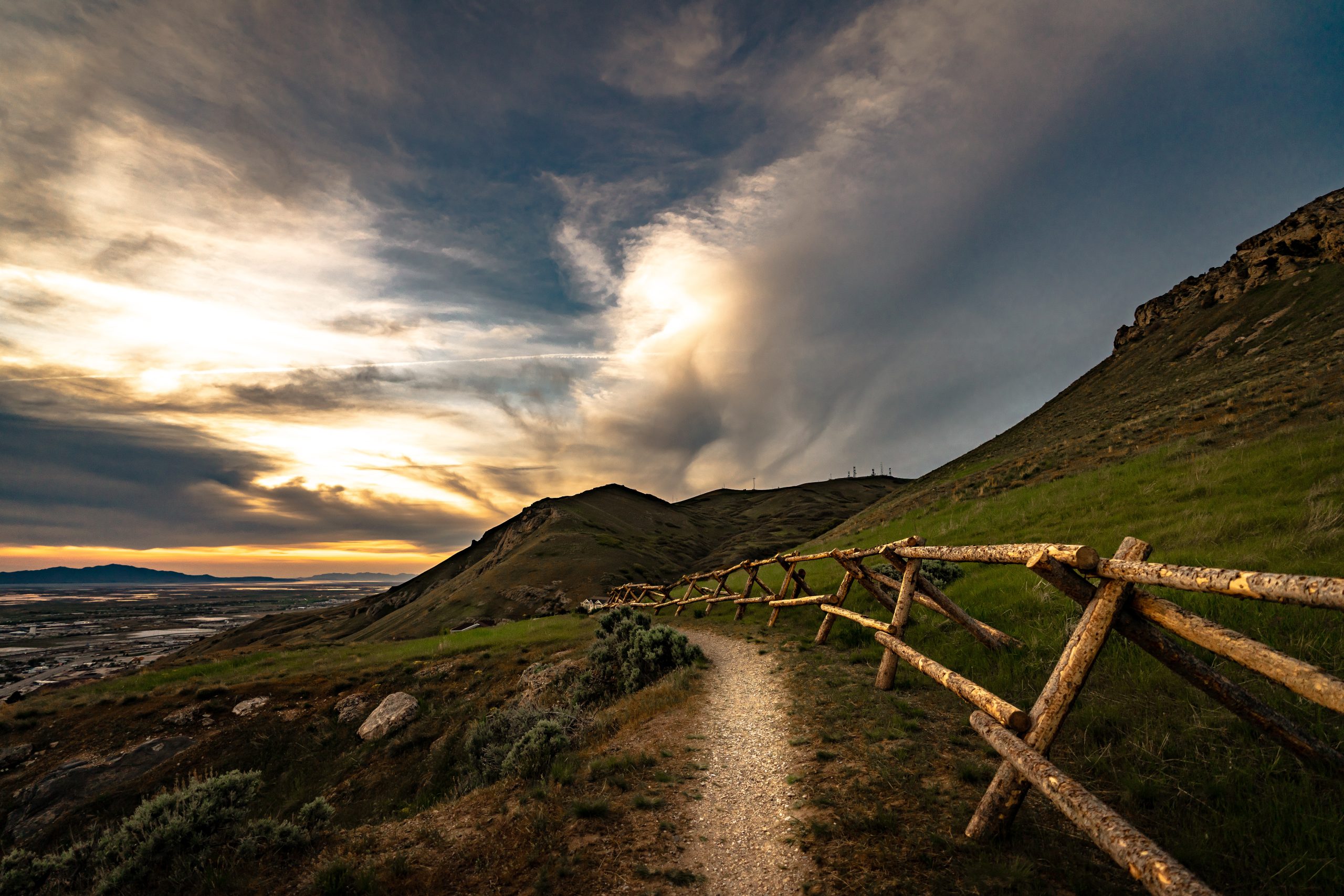
Salt Lake City Foothills
The Salt Lake City Foothills Natural Area (“The Foothills”) consists of approximately 8,000 acres of designated open space bordering the northern and eastern limits of Salt Lake City running from Davis County to Emigration to Parley’s Canyon.
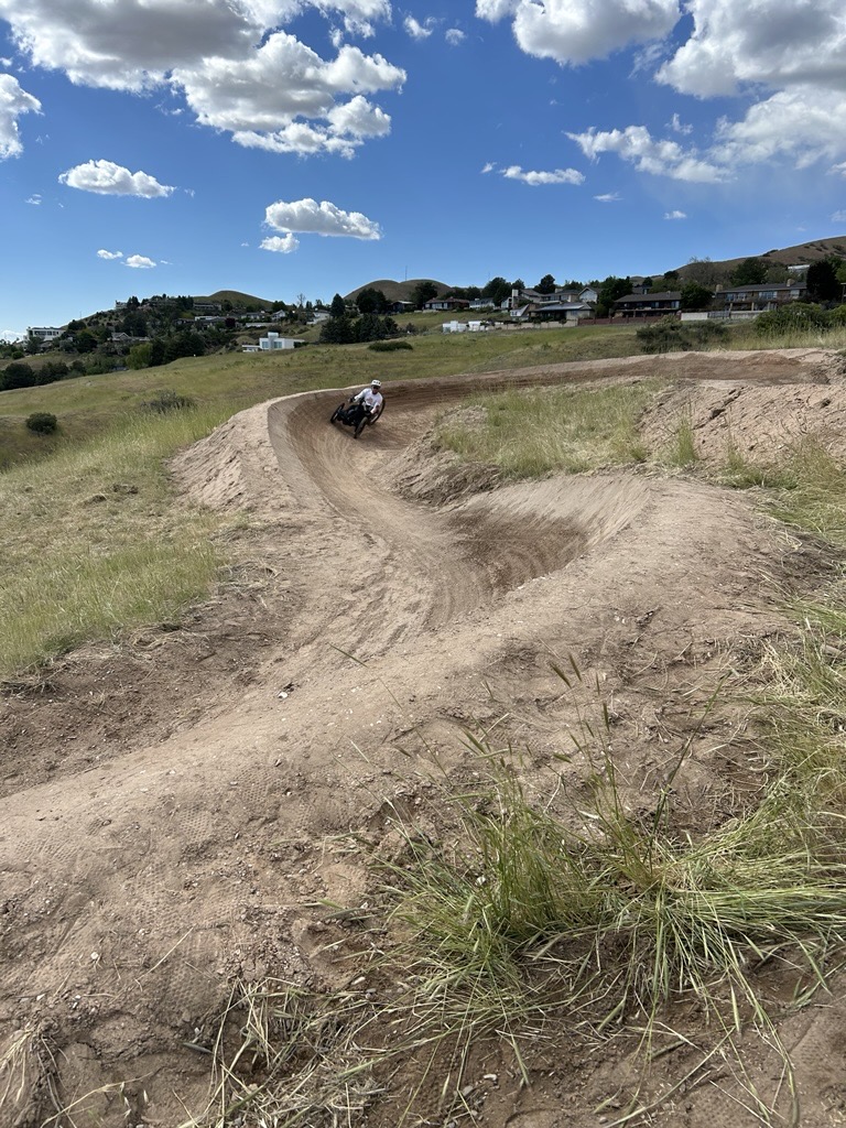
Trail Conditions
East Pop bike trails are NOW OPEN! After a month of trail rehab, Big Pop, Lil Pop, and even Hop on Pop are POPPING like never before. Trails are now “adaptive-optimized” and accessible to all! Stop and check out our new trailhead too!
Current Maintenance/Projects
To view current maintenance plans and projects happening in the Salt Lake City Foothills visit our project page.
Foothills Plan
The Foothills Natural Area will provide a variety of recreational trail experiences for diverse ages and abilities while managing the Foothills’ environmental resources for future generations. Learn more about the plan and goals here.
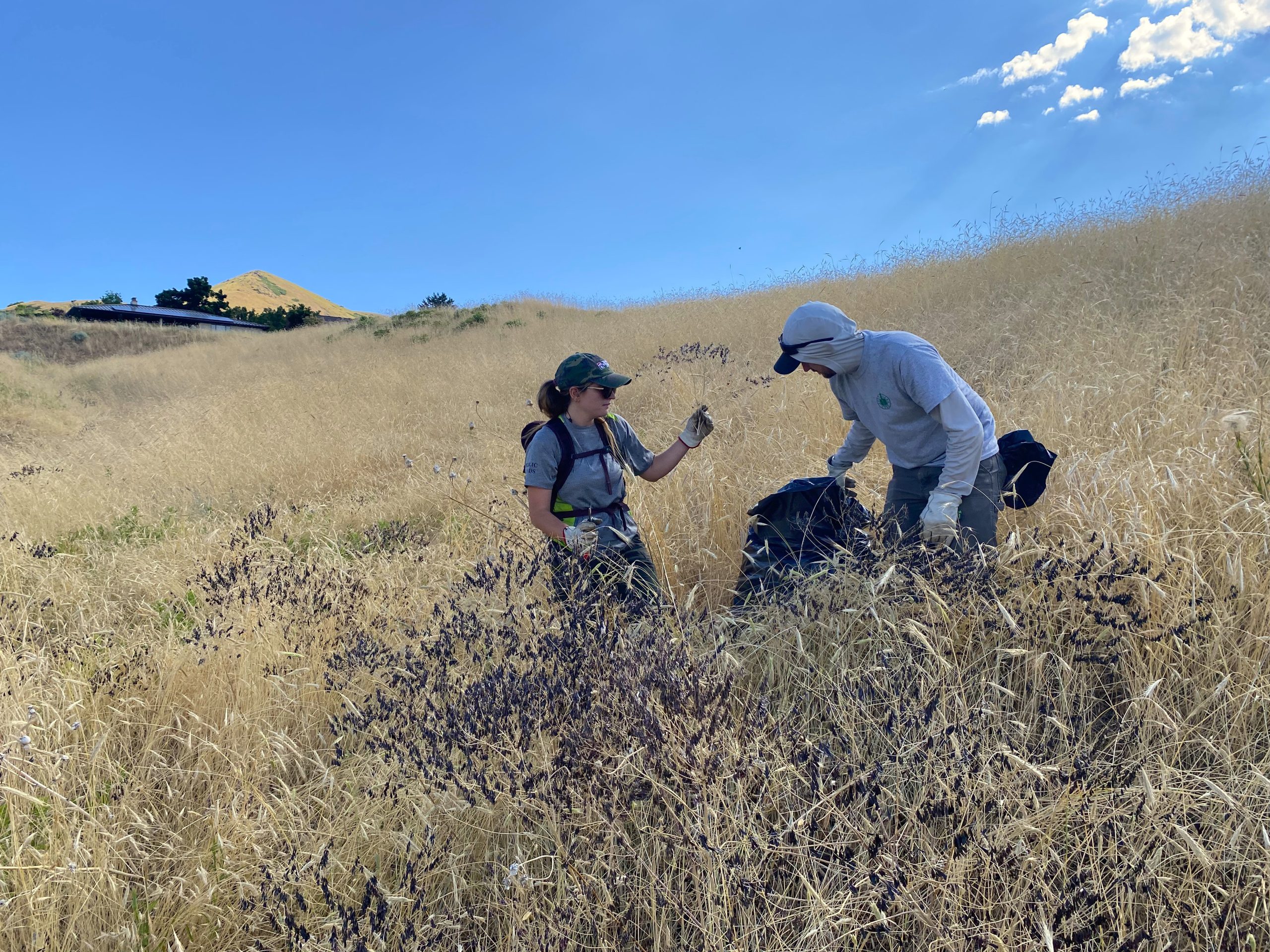
Get Involved in the Foothills
Are you looking to get involved in the Salt Lake City Foothills? Whether volunteering, signing up for our newsletter, or following us on social media, there are lots of ways to stay in the know!
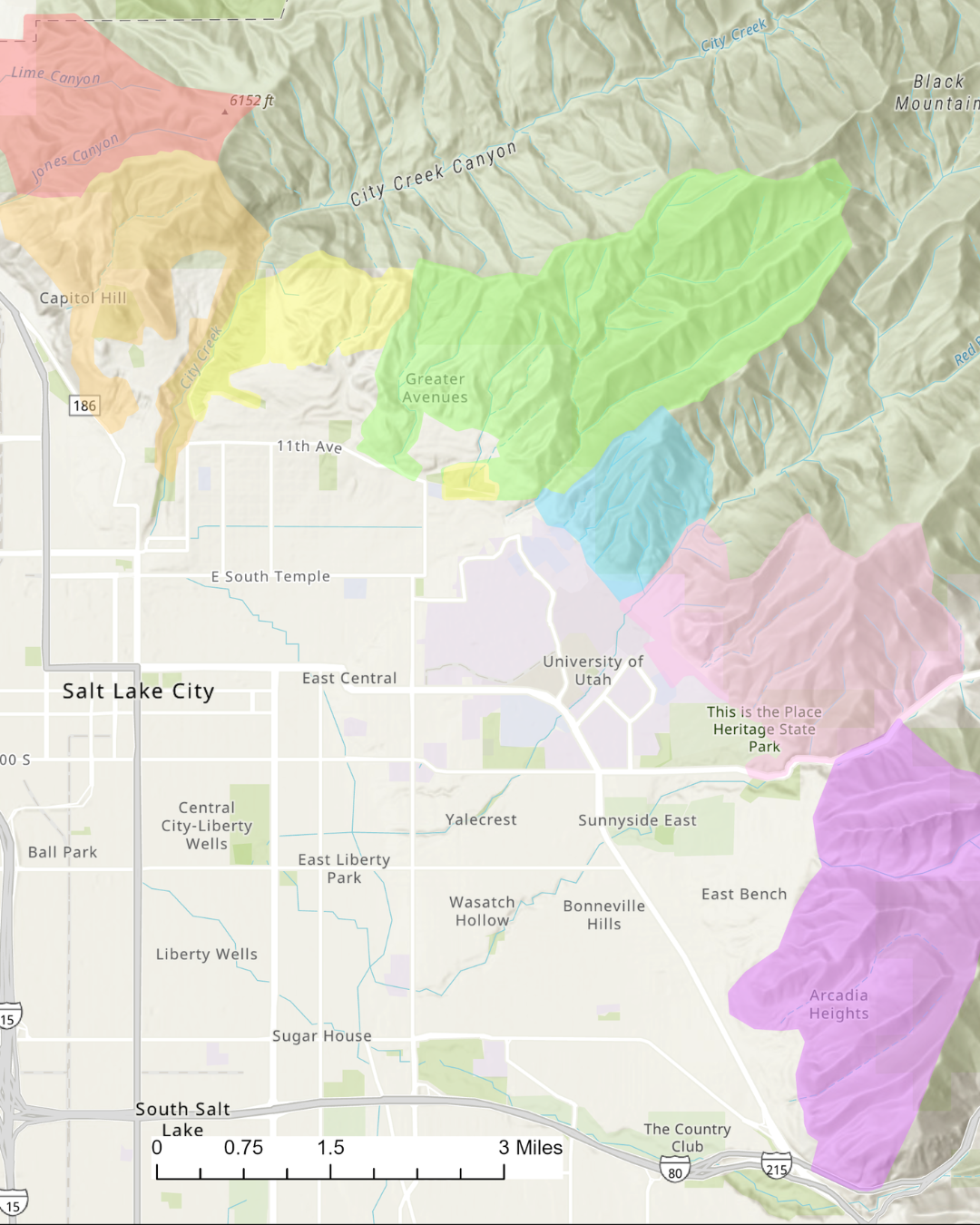
Foothills Trail System Map
Click on the various trail segments on the map below to learn more.
For additional trail information, click here.
Follow SLC Public Lands on social for project updates, event notifications, educational content, and more.