Mt. Wire, Mt. Van Cott, Red Butte, and the University of Utah Area Routes
— Quick Links —
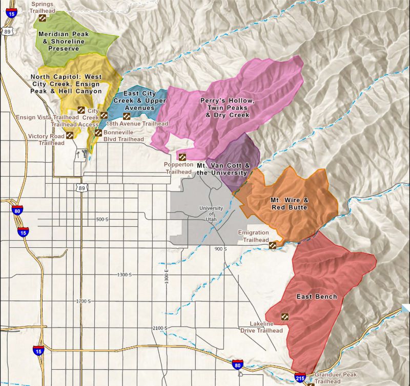
Central Foothills: Mt. Wire, Mt. Van Cott, Red Butte, and the University of Utah
The Foothills Rangers and trail teams have scouted out and mapped a variety of excursions for your enjoyment.
Links to these routes on AllTrails are provided.
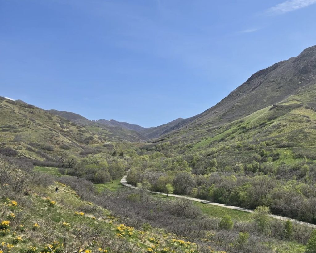
Photo: AllTrails
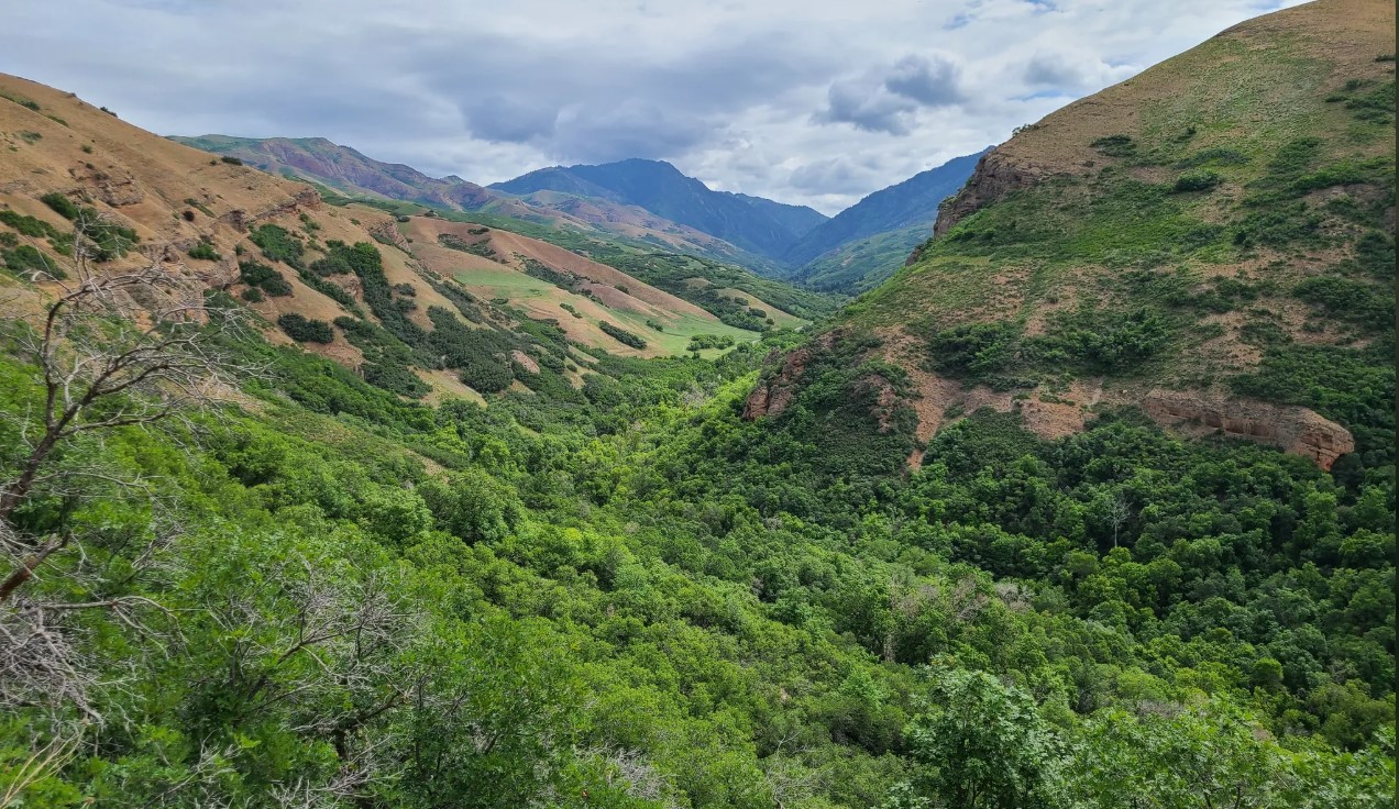
Hiking: Red Butte Summit via George’s Hollow
This loop takes you up to the Red Butte summit and down George’s Hollow. It includes steep, rocky sections and beautiful views of Red Butte Canyon and the Salt Lake Valley. This route contains the iconic Living Room feature. Note: This trail is on University of Utah property and is not maintained by Public Lands. 3.5 miles and 1604 feet of elevation gain. For the experienced hiker.
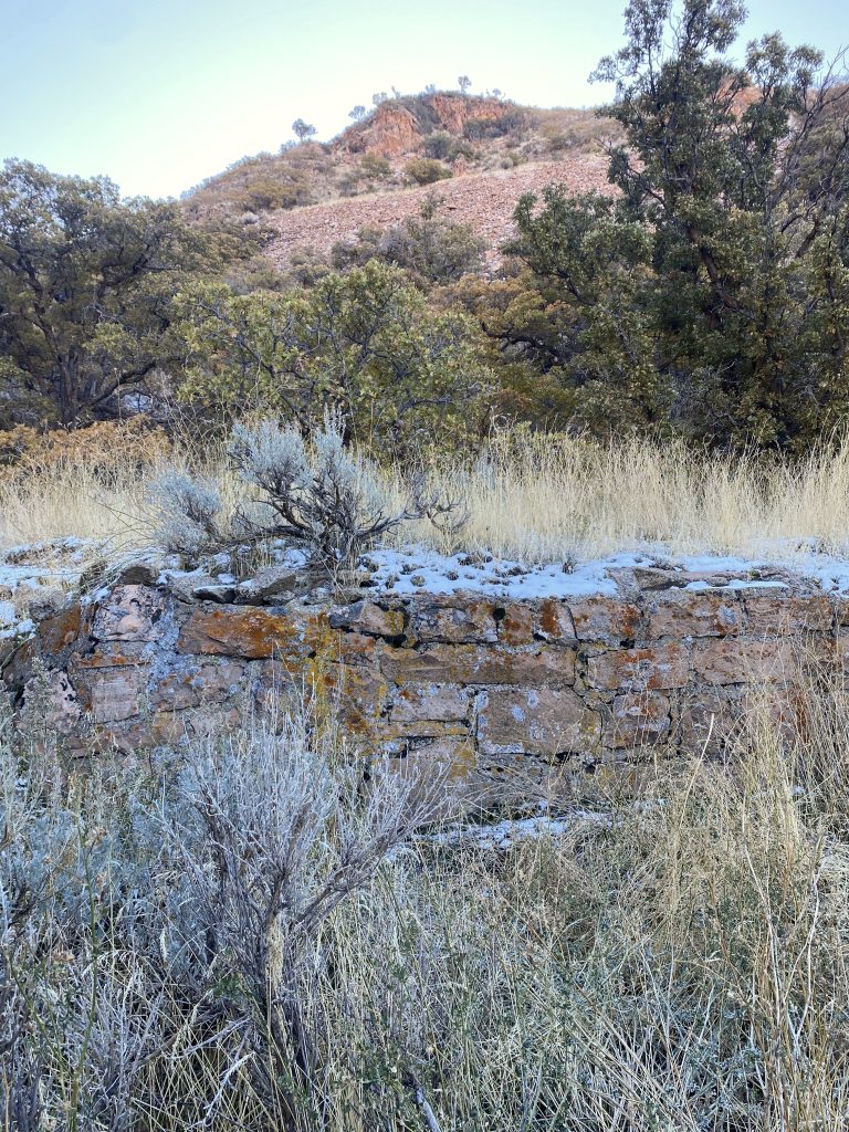
Photo: AllTrails
Hiking: Red Butte Quarry Loop
This loop takes hikers past a historic building used when the hollow was part of a quarry. The trail meanders through scrub oak and open sections that provide views of the quarry building and Red Butte Gardens. Note: This trail is not a maintained trail; it is on US Forest Service and University property. 1.7 miles and 597 feet of elevation gain.
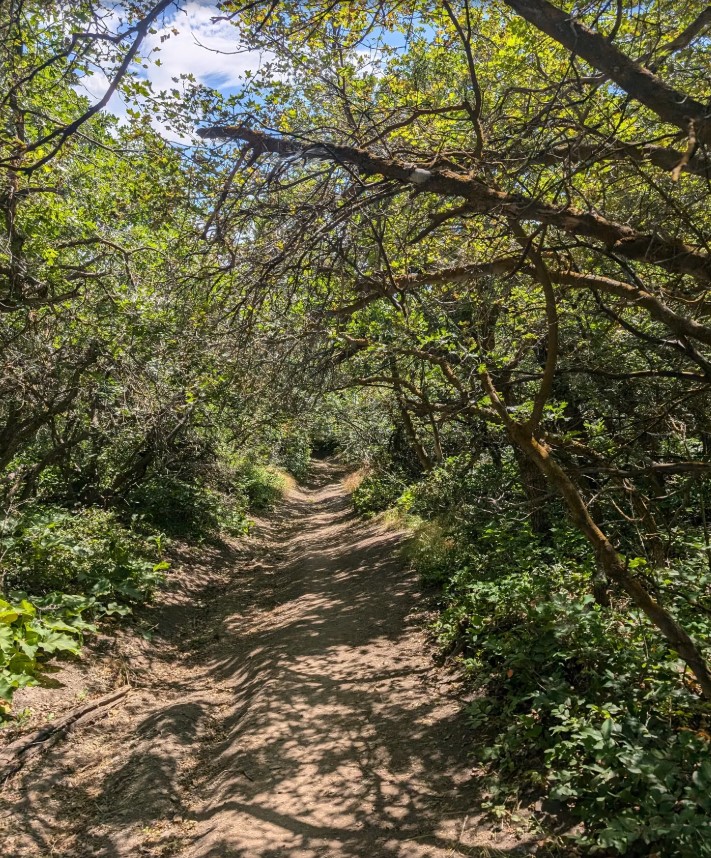
Photo: AllTrails
Hiking: Wagner Springs to Wagner Peak
The hike meanders through scrub oak, passing a spring, then climbs up to a viewpoint of Emigration Canyon and Salt Lake City. Partially shaded. 2.6 miles with 849 feet of elevation gain.
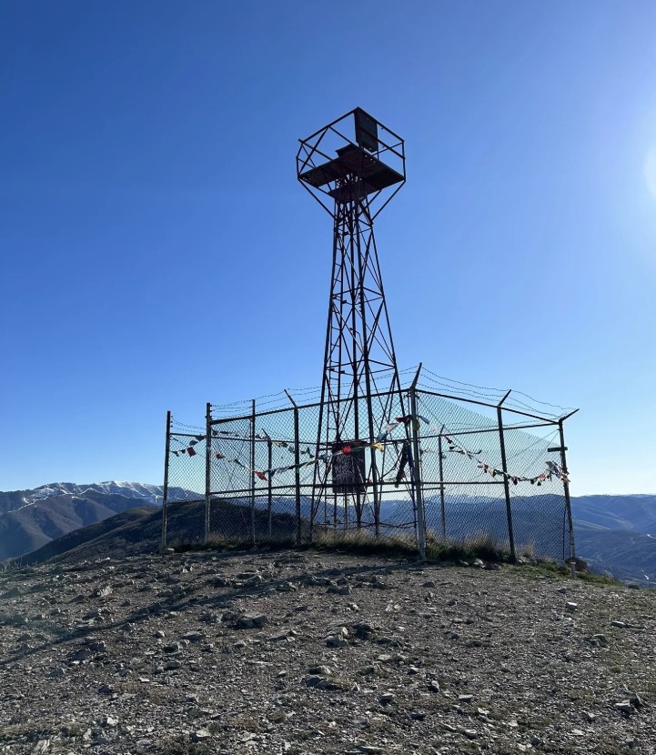
Photo: AllTrails
Hiking: Mt. Wire via Emigration Trailhead
Steep climbs reward hikers with great views. At the top of the mountain, there is an old airway beacon that some hikers choose to climb for 20 more feet of elevation gain. The best times to hike Mt. Wire are in the spring and fall; there is no shade on this hike. 3.8 miles, 2208 feet of elevation gain.
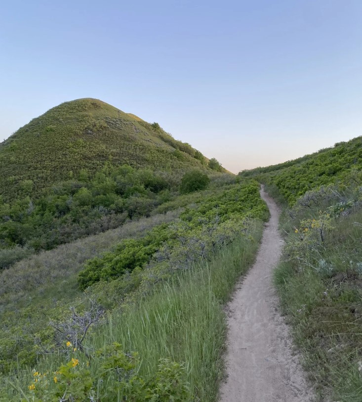
Photo: AllTrails
Biking: BST Emigration to City Creek
Follow the Bonneville Shoreline Trail from Emigration Canyon Trailhead all the way to City Creek Canyon for a great point-to-point ride or a long out-and-back ride. 10.4 miles with 1794 feet of elevation gain (one way).
Trail Routes at a Glance
| Route | Distance | Elevation Gain |
| Red Butte Summit via George’s Hollow | 3.5 miles | 1604 feet |
| Red Butte Quarry Loop | 1.7 miles | 597 feet |
| Wagner Springs to Wagner Peak | 2.6 miles | 849 feet |
| Mt. Wire via Emigration Trailhead | 3.8 miles | 2208 feet |
| BST: Emigration to City Creek | 10.4 miles | 1794 feet |
Foothills Open Space Management Areas
A Vision for Sustainable Recreation in the Foothills Natural Area
The Foothills Natural Area consists of approximately 6,000 acres of canyons, open sagebrush grasslands, and scrub-oak woodland bordering the northern and eastern limits of Salt Lake City. The Foothills are a patchwork of open space properties owned by the City, the University of Utah, Utah State Parks, and the US Forest Service. Our vision is to provide a variety of recreational trail and cultural experiences for diverse ages and abilities while managing the Foothills’ environmental resources for future generations.
Read more about the Foothills Plan HERE.