Perry’s Hollow, Twin Peaks, Dry Creek Area Routes
— Quick Links —
Central Foothills: Perry’s Hollow, Twin Peaks, Dry Creek, and Popperton Natural Area
The Foothills Rangers and trail teams have scouted out and mapped a variety of excursions for your enjoyment.
Links to these routes on AllTrails are provided.
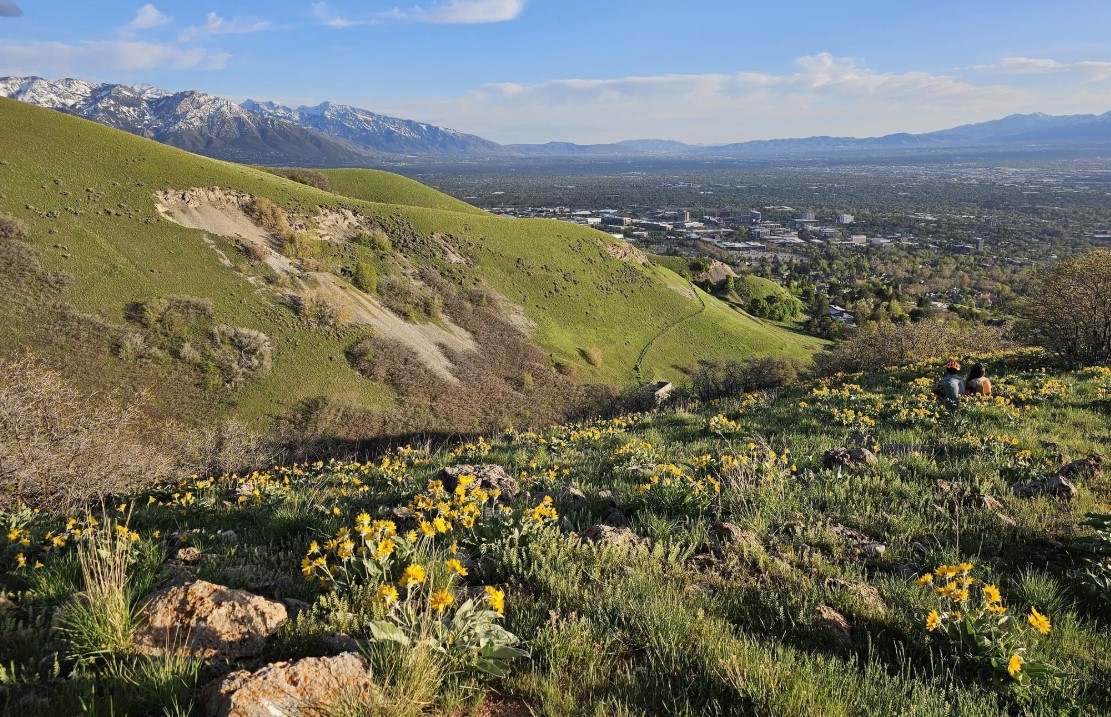
Photo: AllTrails
Hiking: Popperton, BST Dry Creek, and Tomahawk Trail Loop
From the Popperton trailhead, hike up Dry Creek to the BST and down Tomahawk Trail and through the Federal Point neighborhood to return to Popperton. Intermediate hikers will enjoy the moderately challenging climbs. Enjoyable in either direction. 4.6 miles, 840 feet of elevation gain.
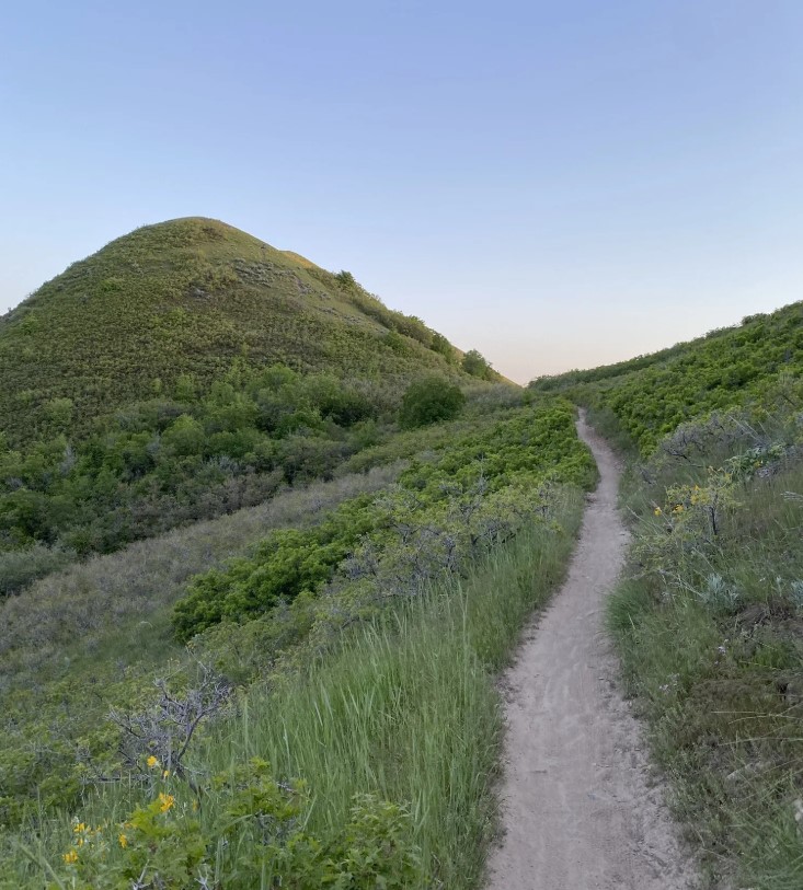
Photo: Public Lands
Biking: 19th Ave via Dry Creek and the BST
This route takes riders on a cross-country loop that starts with a moderate climb up Dry Creek Trail and ends with a flowy descent on 19th Ave. Return to Popperton trailhead using 11th Ave. Note that 19th Ave is biking only. 9.7 miles with 1400 feet of elevation gain.
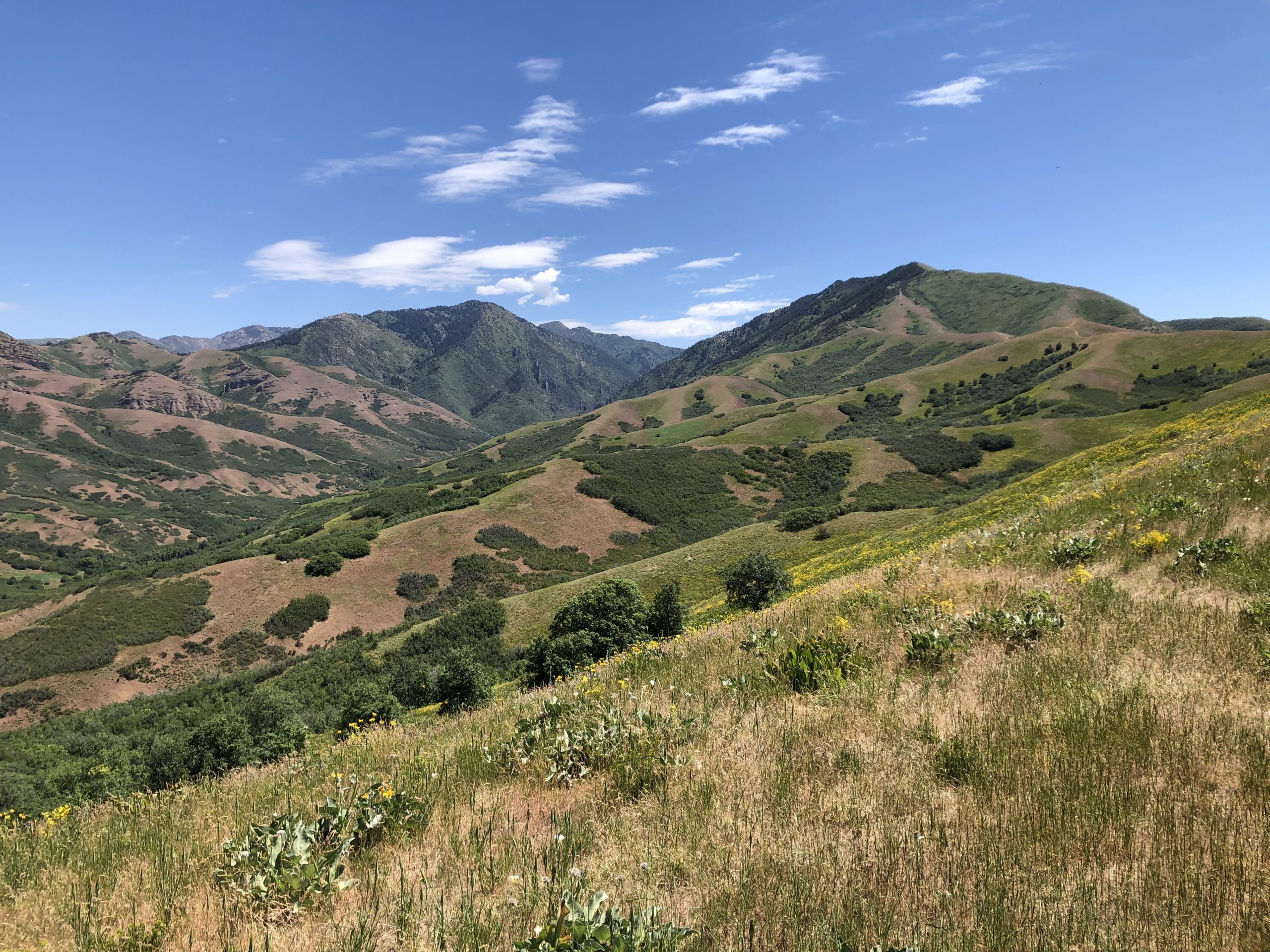
Photo: AllTrails
Hiking: Tomahawk Trail and Perry’s Hollow Loop
This route provides stunning views of the Valley and Twin Peaks as it meanders through open terrain with a gentle grade. Please note that Perry’s Hollow trails are not maintained by SLC Public Lands. 3.5 miles, 715 feet of elevation gain.
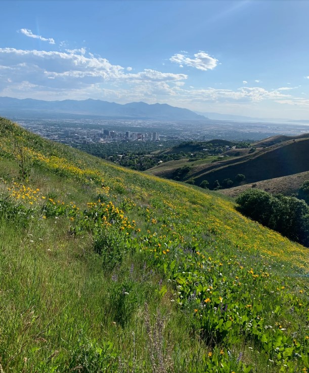
Photo: AllTrails
Biking: Bobsled Trail from Dry Creek
From Popperton trailhead, climb to the BST through Dry Creek and head west across Twin Peaks. Ride the Bobsled down to Chandler Drive or 11th Ave and return along the road. for the intermediate to advanced rider. Note that Bobsled is not maintained by SLC Public Lands. 6.7 miles, 1,181 feet of elevation gain.
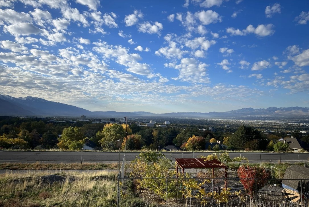
Photo: AllTrails
Popperton Nature Park Trails
Popperton Natural Area contains both hiking and biking-specific trails.
Lil Pop Loops: These “trainer” and warm-up rides prepare kids and beginner riders for the Foothill trails. Climb Hop on Pop and choose to descend Lil Pop or Big Pop. Loops are one mile each and have 150 feet of elevation gain. On the south side of the road, South Pop offers a very easy, kid-friendly loop.
West Popperton Hiking Loop: Easy walking loop through the west side of Popperton Nature Park offers sweeping views of the city. 1.1 miles with 120 feet of elevation gain.
Trail Routes at a Glance
| Route | Distance | Elevation Gain |
| Popperton, BST Dry Creek, and Tomahawk Trail Loop | 4.6 miles | 840 feet |
| 19th Ave via Dry Creek and the BST | 9.7 miles | 1400 feet |
| Tomahawk Trail and Perry’s Hollow Loop | 3.5 miles | 715 feet |
| Bobsled Trail from Dry Creek | 6.7 miles | 1181 feet |
| Popperton Nature Park Trails | ~ 1 miles | ~ 120 feet |
Foothills Open Space Management Areas
A Vision for Sustainable Recreation in the Foothills Natural Area
The Foothills Natural Area consists of approximately 6,000 acres of canyons, open sagebrush grasslands, and scrub-oak woodland bordering the northern and eastern limits of Salt Lake City. The Foothills are a patchwork of open space properties owned by the City, the University of Utah, Utah State Parks, and the US Forest Service. Our vision is to provide a variety of recreational trail and cultural experiences for diverse ages and abilities while managing the Foothills’ environmental resources for future generations.
Read more about the Foothills Plan HERE.