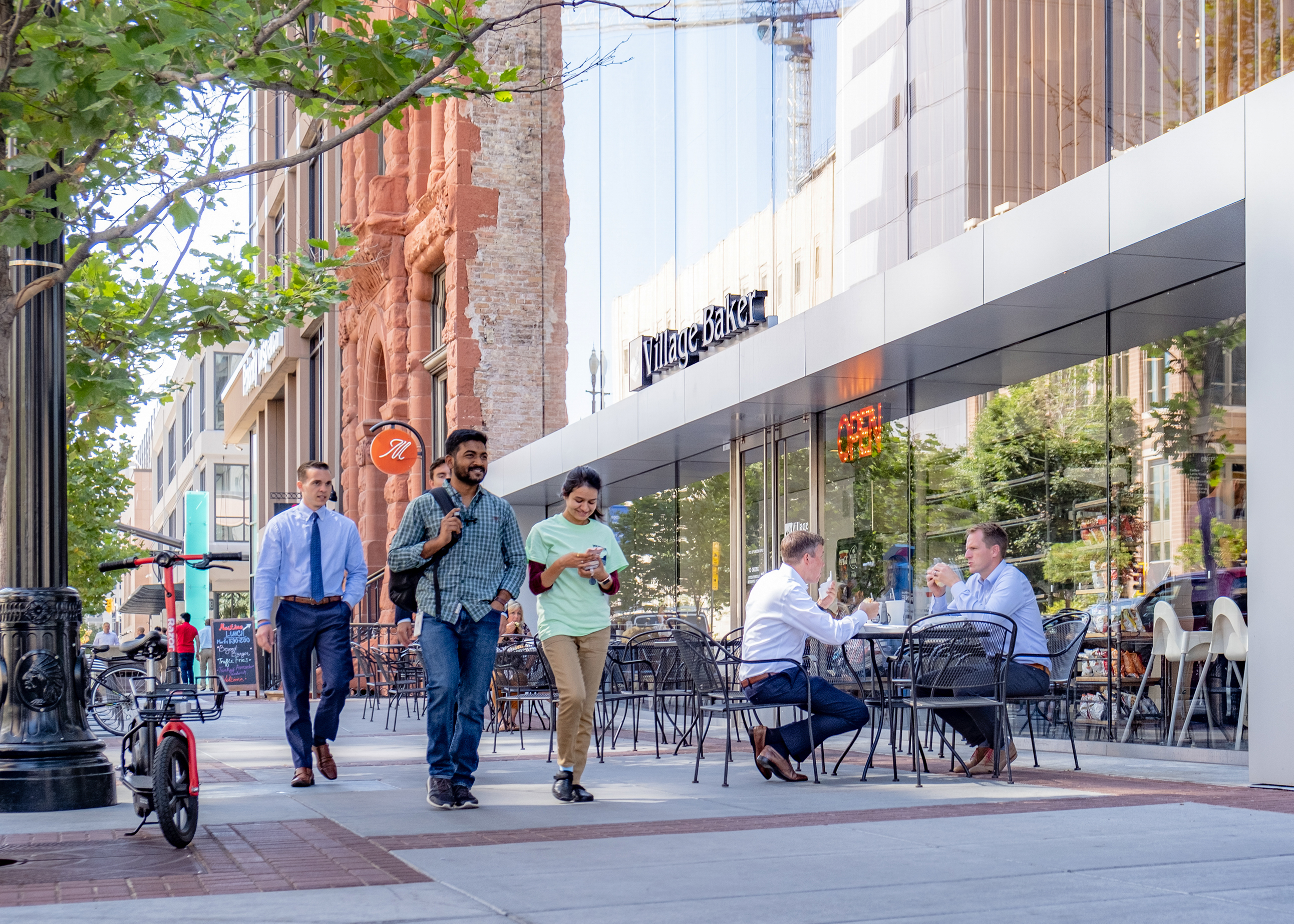
Walkability is an important factor in promoting public health, reducing environmental impact, and supporting the local economy. One key variable in walkability is the proximity to essential amenities—people are more likely to walk when everyday services like grocery stores, schools, parks, and public transportation are close to where they live.
Walkable SLC is a data-driven mapping tool developed by the Planning Division to better understand and visualize the City’s current conditions and access to the amenities that support a high quality of life, like grocery stores, parks, and schools. By analyzing the access to amenities at a city-wide and neighborhood level, staff can identify areas that may require additional amenities or investment to improve walkability. This approach supports planning efforts by highlighting areas where increased access to amenities could improve overall community well-being, promote sustainable transportation options, and reduce reliance on cars.
Visit the interactive StoryMap to learn more about the project and explore the walkability of Salt Lake City.
The Community Profiles section of the StoryMap also includes an in-depth walkability analysis of each Salt Lake City neighborhood, highlighting strengths and potential gaps in access to amenities and services across the city.