Rocky Mountain Power
Wildfire Mitigation Project
PHASE 4: OCTOBER 2025
Visit the Rocky Mountain Power project website to learn more about the project benefits, schedule, and trail closures and other details.
Contact
For questions or concerns regarding this overall project, please contact Rocky Mountain Power project managers:
- Brant Swander: [email protected]
- Brad Knowles: [email protected]
Schedule, permitting or construction questions:
- Trixy Lagat: [email protected]
- Victoria Garcia: [email protected]
Project Overview
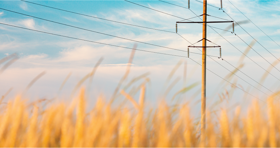
Since 2022, the City has been in extensive planning and preparation with Rocky Mountain Power for its Wildfire mitigation Project, which will replace outdated power poles throughout the Foothills.
Construction will utilize heavy machinery including bulldozers, cranes, and helicopters. Active restoration of disturbed lands and trails is included as part of the project. SLC Public Lands will also initiate land restoration in conjunction with the RMP project.
Project History
Rocky Mountain Power has held a utility easement across the SLC Foothills for power transmission and distribution across the North Capitol, Upper Avenues, and University neighborhoods since the 1950s. Construction work occurs within RMP’s utility easement except where access is re-routed to minimize disturbances to the landscape.
Locations
Power Pole Replacement Project Map
PHASE 1) “Medical to Research”
- Area: Dry Creek Canyon to Red Butte Canyon
- Schedule: June – November 2022.
- Status: Completed, with continued restoration maintenance
PHASE 2) “Northeast to Medical”
- Area: Popperton to Dry Creek Canyon
- Schedule: July – September 2023
- Status: Completed.
PHASE 3) “North Bench to Northeast“
- Area: East City Creek to Upper Avenues to West Perry’s Hollow
- Schedule: September – Spring 2025
- Status: Completed. Restoration will continue through 2027.
PHASE 4) “Capitol to North Bench”
- Area: Warm Springs Park to Memory Grove to East City Creek
- Schedule: Fall 2025